
By Jack | 22 October 2026
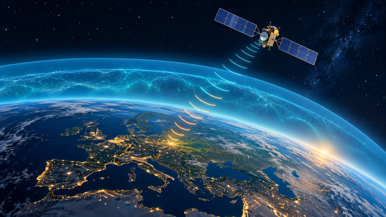
The European Space Agency’s 4D Ionosphere workshop is scheduled to reach its final day today at ESRIN in Frascati, Italy. The meeting links research into Earth’s electrically charged upper atmosphere with a practical challenge: understanding the conditions through which satellite navigation and other radio signals travel.
ESA’s official event listing gives the dates as 20–22 October. It describes participation across Earth observation, space weather, satellite navigation and modelling, drawing on missions including Swarm, SMOS and Biomass as well as preparations for ROSE-L.
Why this atmospheric layer matters on the ground
A navigation receiver works out distance from the time a satellite’s radio signal takes to arrive. Combining signals allows it to calculate a position. According to ESA’s navigation explainer, the ionosphere can delay those signals and introduce positioning errors.
That makes the atmosphere part of the measurement problem. A receiver needs more than a satellite’s location: it also needs a reliable interpretation of the signal’s journey. Improving knowledge of that journey is relevant far beyond a laboratory, wherever people or equipment depend on satellite positioning.
Natural interference is different from jamming
Not every navigation disturbance has the same cause. In an August 2026 account of navigation resilience, ESA distinguishes natural space-weather effects from jamming, which overwhelms genuine signals, and spoofing, which substitutes deceptive ones.
Separately, ESA’s space-weather service explains that small-scale irregularities in ionospheric plasma can cause rapid changes in signal strength and phase, a phenomenon called scintillation. These changes can degrade reception.
The distinction matters when reading disruption reports. Research into natural atmospheric variability should not be presented as evidence of a deliberate attack. Nor does a research workshop establish that an operational warning is in effect today.
What to look for after the workshop
For readers assessing future announcements, three questions are useful: What observations support the model? Has it been checked against independent measurements? And has any improvement been demonstrated in an operational service, rather than only in a research setting?
Those questions separate a promising scientific approach from an improvement that a navigation user can already rely on. The event listing describes an effort to combine satellite observations, ground measurements and models; it does not announce a new consumer navigation product or certify a particular accuracy gain.
At publication, this article draws on the published programme description and ESA’s background material. It does not claim that the workshop has formally concluded or that participants have adopted findings that have not yet been published.
Reporting note: Prepared with AI assistance using the official sources linked above. No on-site attendance or interviews are claimed. Corrections: support@globaldailytimes.com.

Leave a Reply